Oil Spill Sensitivity Mapping – Effective Tool for Oil Spill Response Planning
Written by Sergej Suzdalev, Marine Research Institute, Klaipėda University
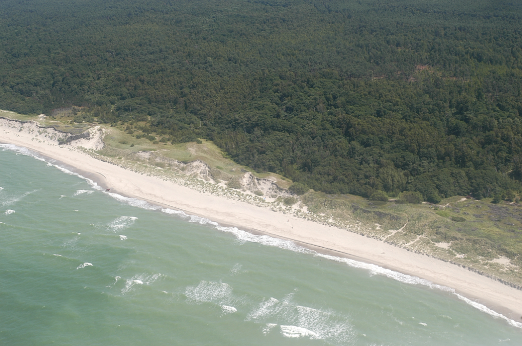
The coasts of the southeastern Baltic Sea form unique landscapes along the shores of Poland, Kaliningrad Oblast (Russia), Lithuania, and Latvia. The flat sandy beaches, protective dune ridges, and nearshore sandy spits are attractive resources for human recreation and valuable wildlife habitats.
Here, the intensifying shipping, operation of oil terminals, and offshore platforms pose a constant threat of oil spillages that may have a deleterious influence on coastal and socio-economic resources and the vulnerable marine habitats. During the oil spill response operations, decision-making requires science-based information on the most vulnerable coastal features, biological, socio-economic, and fishery resources available in the area.
In Lithuania, oil spill sensitivity mapping has proved to be an effective tool for oil spill response planning. For over ten years, our personnel at Klaipėda University have been actively involved in assessing the Lithuanian coast’s sensitivity and vulnerability. The methodology for the assessment of coast sensitivity to oil spills has been developed as a result of close scientific collaboration between the universities of Klaipėda (Lithuania) and Wageningen (The Netherlands). The developed oil sensitivity maps are an integrated visualization of the most important biological and socio-economic resources.
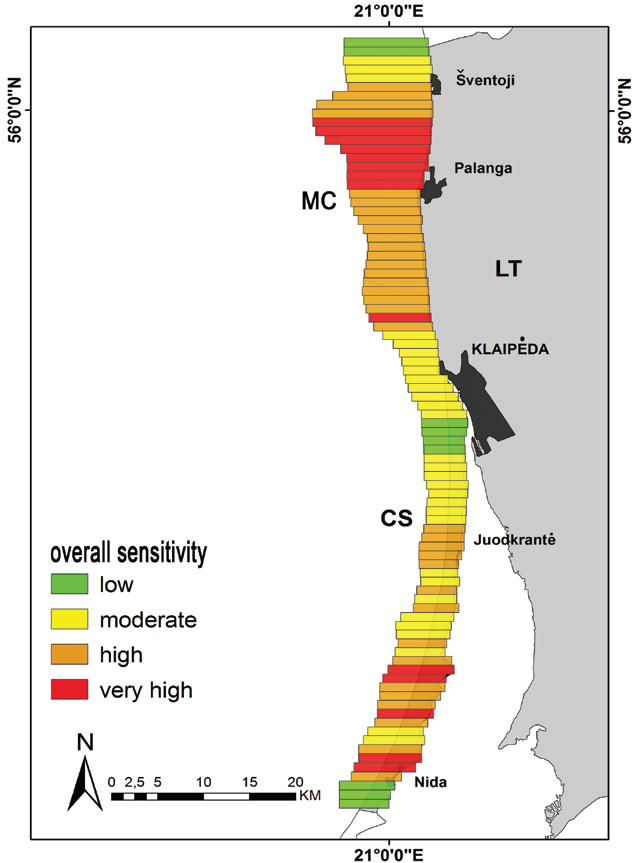
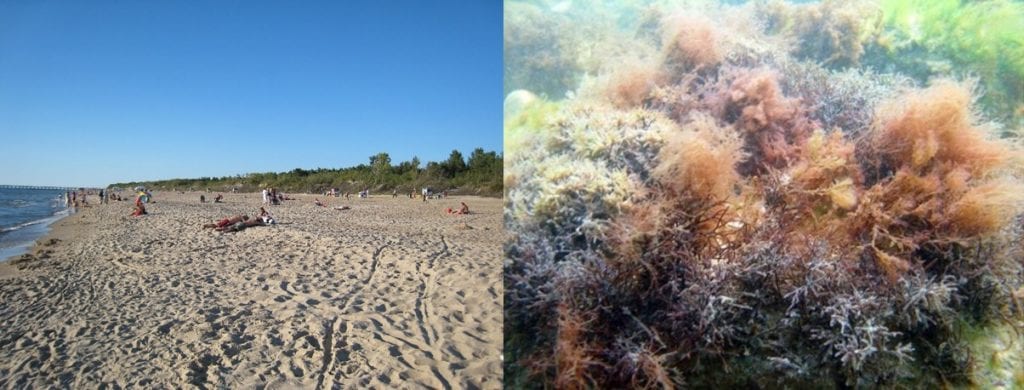
The results indicate that the Lithuanian coast has two prioritization areas in case of an oil spill. The 25 km long shoreline on the Curonian Spit, a UNESCO World Heritage Site, is one of them. It is characterized by important biotope complexes and valuable socio-economic resources, the white sand beaches. The other is a 10 km long coastal strip on the mainland coast, an area for unique algal beds, herring spawning grounds, important commercial fish stocks, bird wintering areas as well as the most important seaside resort of Palanga.
The evaluation of coastal zone sensitivity towards the potential oil spill and the estimation of possible damage help address the complexity of impacts on ecosystem services. It provides excellent support for decision-making in oil spill response planning.
Leave a Reply