Kenttäasema täynnä tarinoita

Category: nature

Q&A, What do we do in Seili in winter?

Some of the most frequently asked questions we get is “What is it like to work and live in Seili in wintertime?” “What do you do in Seili during winter?” and “How can I travel to Seili in winter?” The institute has operated in Seili year round since its beginning and our actions are generally governed by the busy summer field season and the more peaceful winter season.

Seili winter

When summer turns to autumn and winter and the ferry m/s Östern, operating between Nauvo, Seili and Hanka, ends its summer season, we turn our focus towards the upcoming winter. Even though the weather might still be sunny and warm, the approaching winter season is obvious as one by one the summer employees leave the island and visiting researchers end their field work and experiments for the year. What remains is the core group that takes care of the infrastructure.

As things slow down on the island, the University campus is starting the new academic year, which means that the number of university board meetings etc. increases exponentially. For this reason, a part of our staff move their office for the winter to the Turku university campus area (Matthias-building) and work in Seili only occasionally.

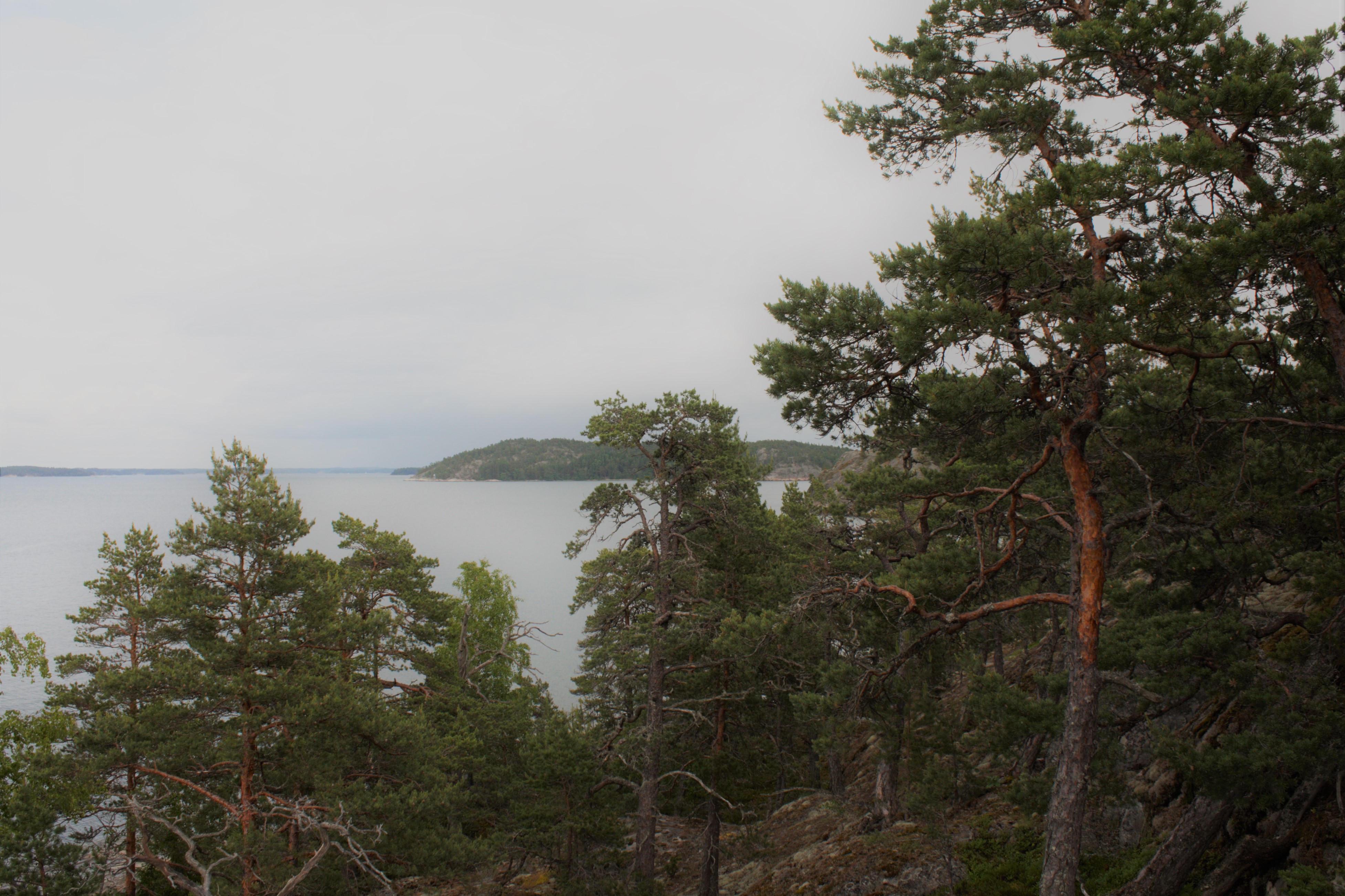
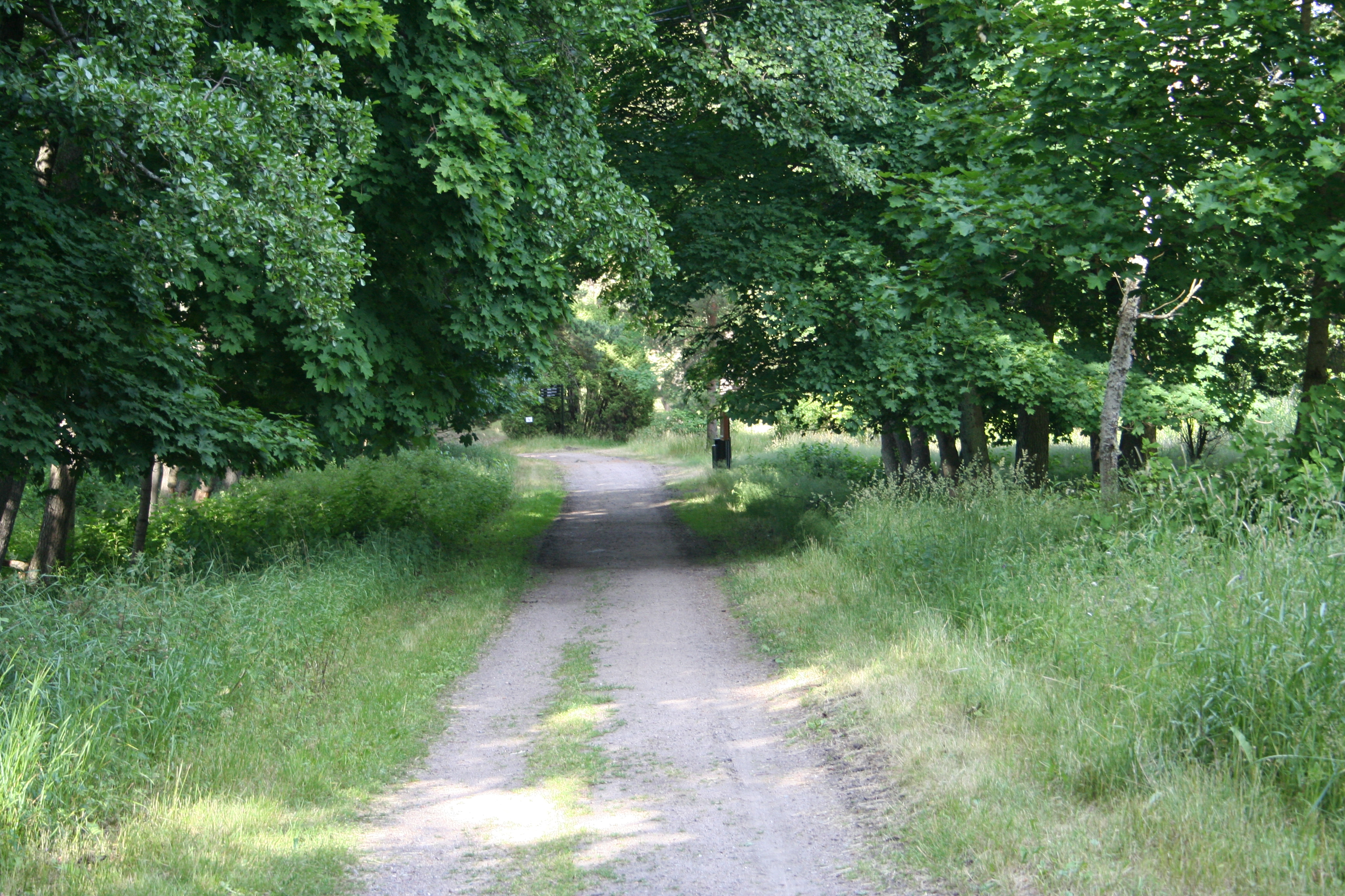
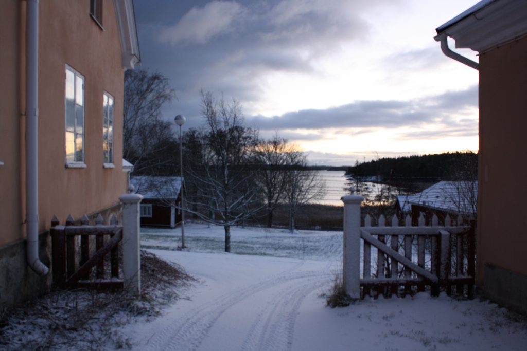
A great weekend getaway for photographers and astronomical enthusiasts. The city lights won’t bother you here, but instead, pack a  headlamp.

For those who work in Seili full-time year round, the wintertime is devoted for maintenance tasks. During winter, sampling equipment are inspected and, if needed, repaired and calibrated, and lab stores are refilled for the next summer. Our service men, Pete and Kari, also take the Institute’s vessels and boats out of water and make sure they are ready for the next season. This winter, there are also several renovations going on, something new is under construction..

The lights at the workshop don’t go out in winter. The peaceful wintertime is devoted to maintaining the infrastructure at Seili.

In autumn, some of the sampling programs, like the moth monitoring, end when the temperatures fall below 0 degrees. One of last big sampling efforts is the fishing of herring for The Finnish Radiation and Nuclear Safety Authority’s (STUK) monitoring purposes. The water quality monitoring, however, is continued year round, and every ca. 10 days the Institute’s preparator, together with Kari or Pete, travel to the sampling point, located north of Seili, to take water samples and measure the temperature and salinity of the water column. Every month, zooplankton samples are also collected. The wintertime sampling is mainly governed by ice and wind-conditions, but usually only during rasputitsa the monitoring cannot be continued as it is not either possible or safe to travel to the sampling point with a boat, snowmobile or hydrocopter.

Seili winter sampling

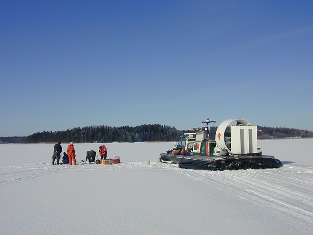
Sampling in winter 2006. Exceptionally, the trip from Seili post jetty to the sampling location was done with a hover craft.

It is easy to travel to Seili even in the wintertime. After the summer season, a public ferry, m/s Falkö operates between Nauvo and Seili. The biggest differences is in the timetables, in winter, it is possible to travel to Seili and back only on Tuesday, Wednesday and Friday. The ferry ride also needs to be booked at latest the day before. This winter, the Nauvo guest harbour is also under construction and thus, the ferry operates from Keso shipyard in Ernholm, Nauvo.

Interested in traveling to Seili in winter, but the ferry timetables don’t fit your schedule? We offer transportation services year round. More information and price list here.

Surveying meadows in Seili

Meadows are traditional biotopes in Finland and during this summer we took a closer look at meadow plants in Seili. Proper equipment and careful planning are the basis of sampling plants. It’s wise to keep close to you at least a good plant identification guide and a sampling square (quadrat). Sometimes a magnifying glass is also necessary to check some small details.

Cover and density estimates are important parameters of changes in vegetation. This inventory also gave an opportunity to pause and admire the beauty of the plants, butterflies and other insects.

A quadrat is a plot used in ecology to isolate a standard unit of area for study of the distribution of an item over a large area

Common Moonwort (Botrychium lunaria)

Field Cow-wheat (Melampyrum arvense)

Text and photos: Jasmin Inkinen, Archipelago Research Institute’s preparator

This is a short version of the original Finnish blog post, see the original post here.

See also: Natural environments in Seili (part 1)

Natural environments in Seili (part 1)

For those who enjoy the outdoors, the nature of Seili offers unique experiences. In this post series, you’ll find everything you need to know on exploring Seili island’s lesser-known natural wonders. In this first post, we’ll introduce the different natural environments of Seili. Later, we will focus for example on species restoration, habitat conservation, and endangered species found on the island.

Heritage landscape in the middle region of the island. View from the White house towards Lembergsviken. Photo: Tommi Pohjakallio.

The diversity of environments is a typical characteristic of the middle archipelago region. Distinct feature for Seili is traditional farming and settlements, which have left its traces in the landscape. The first fields in Seili were cleared in the Middle Ages and grazing animals have altered the surroundings. Due to mans clearing of forests into fields, meadows and grazing grounds, many plant species have also spread to new areas.

Professor Mikko Niemi’s sheep used to graze freely on the island in the 1990s. Photo: ARI’s archives.

Since 2013, cattle have been again grazing on Seili. The aim is to restore the landscape to its 19th-century state when the practice of grazing was more common. Photo: Tommi Pohjakallio.

After the closing of the hospital, the buildings, and land and sea-areas of Seili were divided between the University of Turku, the Finnish Forest Research Institute (Metla) and the Archaeological Commission. The state-owned forest areas were included in the Solböle research forest area and, consequently, several non-native tree species were planted in the open fields and meadows, some of which can still be found on Seili today. Metla administered the state-owned forests until 1995 after which the administration was put in the hands of Metsähallitus Parks and Wildlife Finland. Nowadays Seili is involved in a range of biodiversity protection programmes, including Natura 2000 and the Shore Conservation Programme. The buildings and historical artifacts and sites are also protected. For these reasons, open fire, camping, digging etc. are not permitted on-site. To prevent erosion, visitors are also requested to stay on existing roads and paths.

The current natural environment on the island can be divided into three parts: the lush and rich herb-rich forest in the south, the open heritage landscape in the center and the rugged north, dominated by coniferous trees. The rarest habitats on Seili are the large hazelnut bush herb-rich forests on the southern part and rocky grasslands in the center.

Lush hazelnut bush herb-rich forests are found at the southern end of the island. Photo: Katja Mäkinen.

The rugged landscape of the north. Most of the forest area here is classified as natural forests. Photo: Katja Mäkinen.

Walking towards Kirkkoniemi, the most notable land formation is a tombolo, a deposition formation. The tombolo ties together the main island of Seili and Kirkkoniemi, which used to be separate islands still in the mid- 19th century! Photo: Milla Aironsalmi.

Field cow-wheat (Melampyrum arvense), a vulnerable, protected species, grows rather abundantly on Seili. Earlier it was considered as a problematic field weed, but disappeared, apparently due to a change in farming methods.  Photo: Milla Aironsalmi.

Sharp-eyed visitors may spot some species, such as the vulnerable field cow-wheat (Melampyrum arvense), and soapwort (Saponaria officinalis) and Burnet rose (Rosa spinosissima), favoured by traditional farming practices and/or other human activities, in the center and next to the main building. In the future, visitors may familiarize themselves better with these plants, as we are planning to restore an old park and garden of useful plants, which existed next to the main building in the 19th century. Also, a nature trail, offering the traveller a relaxing and refreshing experience to the natural habitats found in Seili, is in the plans for the future.

An old stone fence and possibly the remains of a gate can be spotted near the main building, which used to be part of an old park and garden of useful plants. Photo: Mikko Helminen 2012 Seili archeology project.

Check out this beautiful aerial video from Seili by Timo Oksanen Productions:

References and more information (In Finnish):

  • This post is mostly based on the report of Metsähallitus Parks and Wildlife Finland, written by Leif Lindgren in 2007 (In Finnish). Metsähallituksen luonnonsuojelujulkaisuja 2007. Sarja B.
  • Mikko Helminen, Taina Niemi 2012. Seilin saaren opastusjärjestelmän uudistus. Saaristomeren tutkimuslaitos, Turun yliopisto.
  • Mikko Helminen 2012. Kohteiden Seili Mielisairaalanpuisto, Seili Skreddarens hus ja Seili Kirkkoniemi (Myllymäki 6) tarkastukset sekä kohteiden Seili Utridarens tomt ja Seili Dårhusen koetutkimukset vuonna 2011. Seilin arkeologia hanke, Arkeologian oppiaine ja Saaristomeren tutkimuslaitos.
  • Marja Mikkola 1993. Seilin kirkon lähiympäristön maisemanhoidon toimenpideohjelma. – Museovirasto, MA-Arkkitehdit. Moniste. 24 s